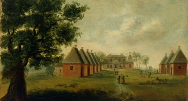
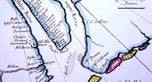
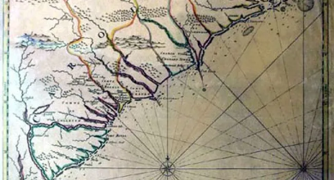
A plat from the "Writs of Partition" files, in the case of "Brewton v. Izard," dated April 17, 1760. (A plat is a map drawn by a surveyor following the legal definition of a piece of property, and showing clearly the boundaries and special improvements or features of that property. They are an important part of any legal transaction involving landed property.) When Joseph Izard died, his two daughters (one of them married to Miles Brewton, a merchant in Charleston) resorted to the courts to divide up their father's 1,260 acre estate between the Combahee and Pocotaligo Rivers. The plat contains a clear plan of how a wealthy rice planter in 1760 used his lands. The main house and the Negro Quarters are plainly marked. Rice was grown in the low-lying and swampy areas, where the tidal action of the rivers could flood the fields during the growing season. On the higher ground in between the rice fields, indigo was grown in the summer months (see Successful Cultivation Of Indigo By Eliza Lucas, Field Workers Harvest Indigo Plant, and The Main Steps In The Production Of Indigo).
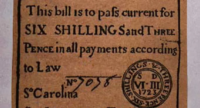
Courtesy of the South Carolina Department of Archives and History.