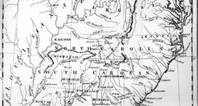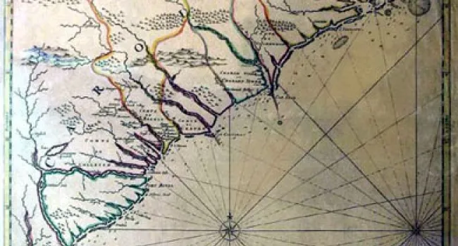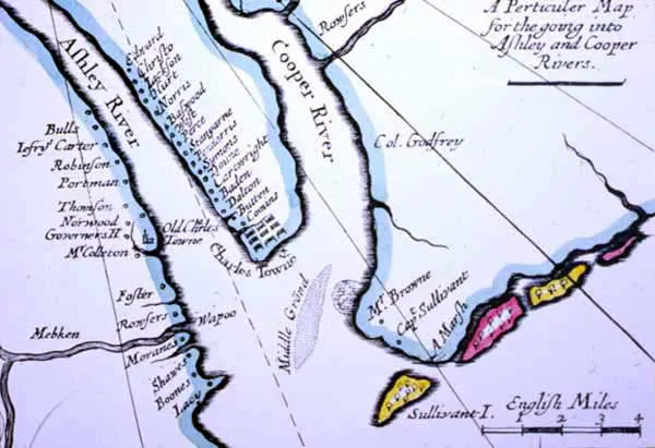
A corner detail of the Thornton Map (see A New Map Of Carolina), printed in London in 1685. The inset is labeled by Thornton, "A Particular Map for the going into Ashley and Cooper Rivers." The printed map is based on a map drawn by Gascoyne in 1682. The Oyster Point peninsula is now the location for the colony, and the list of settlements on it gives an idea of its expansion even in a few years.
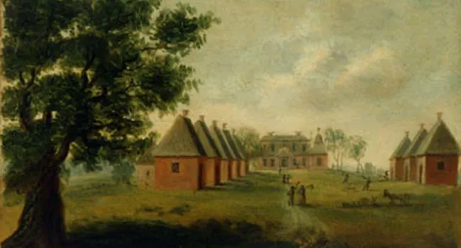
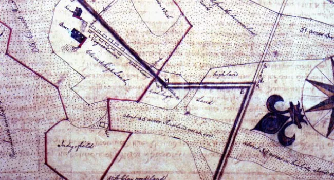
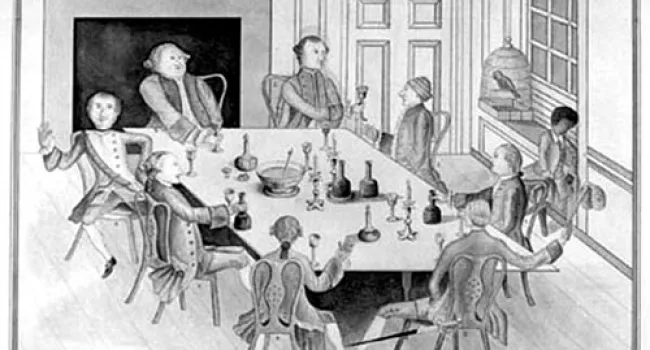
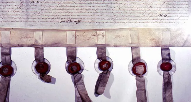
Courtesy of the South Carolina Department of Archives and History.