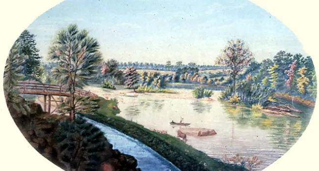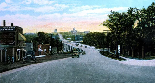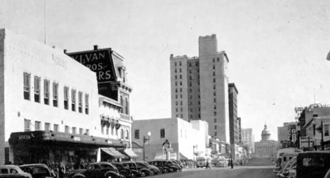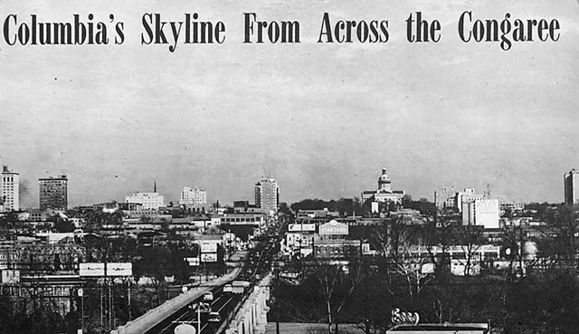
The Columbia skyline as seen from across the Gervais Street Bridge in 1952. (Compare with The Congaree River Bridge, 1910)
Courtesy of Mary Taylor.
The Columbia skyline as seen from across the Gervais Street Bridge in 1952. (Compare with The Congaree River Bridge, 1910)
Courtesy of Mary Taylor.
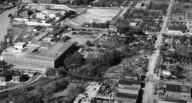
Photo
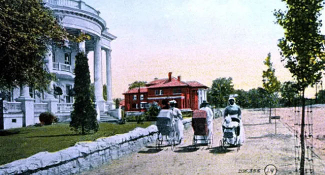
African American Nursemaids In Senate Street View Postcard, 1910 | History Of SC Slide Collection