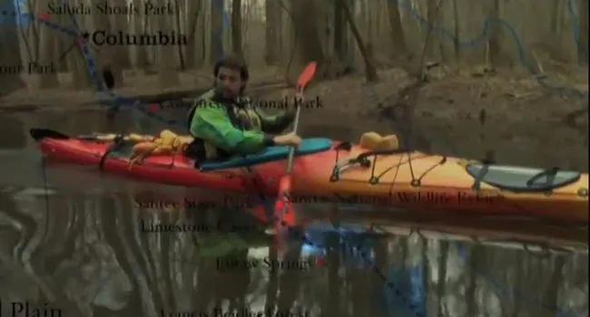
In this webisode, Ian Sanchez explored the Blue Ridge Mountains and the headwaters of the Saluda to begin our voyage -- filming on the Middle Saluda River, Jones Gap State Park, and Caesars Head State Park. Read his summary of the trip below:
Ian's Journal
Hello everyone! We are very excited to be on the way with this Web of Water adventure…
Starting at Table Rock State Park in Greenville, South Carolina we met with park rangers and a middle school class from Pickens School doing experiments with water. We explored the Blue Ridge Mountains and the headwaters of the Saluda to begin our voyage -- filming on the Middle Saluda River, Jones Gap State Park, and Caesars Head State Park.
Up in the mountains you can really see the connections coming together as streams make waterfalls, and waterfalls make rivers that all make their way down to the sea.
Scavenger Hunt
Find the answers to these questions in Webisode 1: Blue Ridge!
1. What mountain chain is Table Rock Mountain a part of?
2. When interpreting a topographic map, what do contour lines reveal about a landscape?
About the Landform – Blue Ridge
The Blue Ridge Mountain Region is located in the northwestern corner of South Carolina and covers approximately two percent of the area of the state. South Carolina State Hwy. 11, also known as the Cherokee Foothills Scenic Highway, serves as a fairly accurate and easily recognizable eastern boundary for this region, which occupies the northern portions of Oconee, Pickens, and Greenville counties but also extends north and west well beyond the borders of the state. This region is the only truly mountainous region in South Carolina. Although other regions are hilly in places, none show the drastic elevation changes and high relief (difference in elevation between high hills and adjacent low valleys) that characterize the Blue Ridge. Several mountain peaks rise to more than 3,000 feet above sea level, and many mountains have very steep slopes and high cliffs. Local topographic relief can range from a few hundred feet to more than a thousand feet from valley floor to ridge crest. The best scenic lookouts are often located at the tops of cliffs because most other areas, including the mountain tops, are covered with trees and other vegetation.
Mountain streams or creeks are usually small and rocky with clear, cold water and many rapids and waterfalls. They generally flow in narrow valleys which have developed a rectangular drainage pattern due to the underlying geologic structure. Occasionally these streams will disappear below piles of rock debris fallen from the adjacent mountainside, and reappear as springs at the downslope side. Landslides and other mass movement of rock and soil are common occurrences in the mountains. The amount of water flowing in these creeks varies greatly, depending on the amount of precipitation which has fallen recently in the local area. Occasionally small floodplain areas, called hollows or coves, occur along flatter sections of streams. Such areas contain rich bottomland soil for farming and provide a unique habitat for wildlife. No natural lakes occur in this region although beavers occasionally dam up small streams to form ponds and engineers have constructed several reservoirs in the area.
SC Maps Teaching Manual, 4th Edition (2000), section 2
Discussion Questions
- Does the clear, cold water up in the mountains have more or less oxygen than water on the coast of South Carolina?
- We can run through these mountains like the Native American tribes who once lived off this same land. What was the name of the most populous Native American tribe in the SC mountain region?
- What were those early interactions with the settlers like?
- What are some of the different types of trees up in the mountains that create such beautiful foliage?
- We don't find many fossils up in these Mountains, why is that?
- Moss and lichen are everywhere up here in the mountains. What unique relationship do lichen have to produce food?
ANSWERS:
1. The cold water in the mountains holds more oxygen than the warmer water on the coast of South Carolina.
2. The most populous tribe in the upstate of South Carolina was the Cherokee nation, and it is estimated that the Cherokee have lived in the upcountry area of South Carolina since 1500. In fact, the Cherokee are the largest tribe in the United States, but have suffered some of the greatest losses. In 1670, it is estimated that their population numbered 50,000, but throughout the 1700’s, half were lost to disease brought by European colonists.
Learn more about the Cherokee and other Native American tribes in South Carolina through the Native American Heritage Month collection.
3. Early relations with the settlers were rough, but soon the Cherokee began trading with the British. The peace was not to last long though, and soon Andrew Cummings negotiated a peace treaty that saw some of the Cherokee travel all the way to England for its signing. This treaty bound the Cherokee to the British up until and during the American Revolution. This did not bode well for the Cherokee upon the Colonists defeating the British in the war. Before the end of the 19th century the Cherokee would have their land taken from them and they would be relocated from South Carolina. The United States government forcibly removed many Native Americans from their homelands under the Indian Removal Act of 1830. The Trail of Tears is the route by which the Cherokee and other Native Americans departed for land in the west.
4. The many trees creating the foliage of the mountains are primarily:
- conifers / pines (pitch pine, Virginia pine, short leaf pine) and
- deciduous hardwoods (pignut hickory, mockernut hickory, scarlett oak, white oak, chestnut oak).
5. Fossils are found only in sedimentary rocks. The mountain region comprised of metamorphic rock created with the smashing together of the North American and African plates. Since no fossils are found in metamorphic rock there are no fossils in the mountain region.
6. Lichen are the result of a symbiotic relationship between algae and fungus. Using water and minerals absorbed by lichen from whatever the plants are growing on, algae turns the sun's energy into food while the fungus helps to retain water for the algae and to decompose the organic materials for recycling.