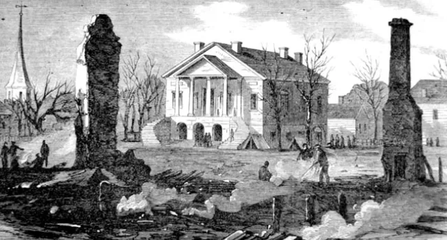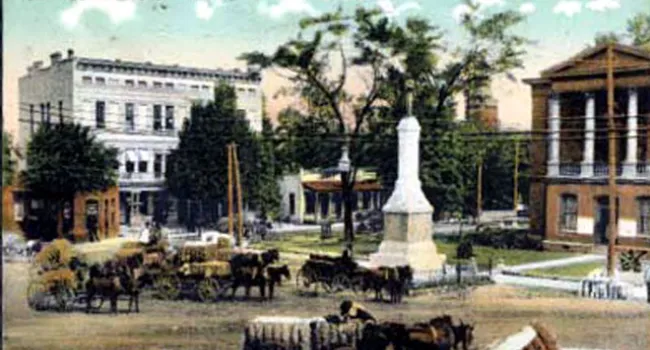
Plat of Orangeburg, around 1800. The table of reference on the back of the plat identifies the letters as follows: "a. Court House b. Goal c. Ephraim Mitchell's House d. D. Bruce's house e. Public Wells h. a spring or springs." The streets in Orangeburg were to be 66 feet wide, except for Bay Street on the Edisto River, which is 99 feet wide. Orangeburg was one of the original townships authorized by the Assembly in 1731, and the third to be settled when a shipload of 250 German Swiss arrived from Rotterdam in 1732. Named for William, Prince of Orange, the town serves a rich agricultural district as market town and county seat, and became the largest and most important interior commercial center of the pre-Revolutionary period. The county was formed in 1769.
Courtesy of the South Caroliniana Library.

