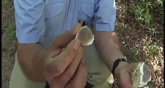
As the archeologists dig, they're going back in time. Breaking through the plow zone at Topper, they find stone artifacts from the Woodland period, from around 1,000 AD all the way back to 1,000 BC. American Indians during this time made arrowheads and pottery.
Beneath Woodland is the Archaic zone. Early Archaic predates the earliest Egyptian civilizations.
Around 1 meter down, after several thousand quiet years, we arrive at Clovis, 13,000 years ago. The archeologists use a 2-by-2 unit grid system to map artifacts in transit down to the plow zone. Once they remove that, they go down 10-centimeter levels until they reach the Archaic component. The archeologists have to switch to using trowels, if they want a more refined removal around the artifacts.
Once they reach the Clovis component they switch to 5-centimeter levels which turns to a quad system at 1-by-1 units. At this point no trowels are used and they instead use bamboo to carefully remove away sand from the artifact.
The location of each artifact is recorded with an instrument called a "total station" which allows the archeologists to map artifacts in three-dimensional space, based off their arbitrary grid. They also use mapping programs like ArcGIS.
As the archeologists dig, they're going back in time. Breaking through the plow zone at Topper, they find stone artifacts from the Woodland period, from around 1,000 AD all the way back to 1,000 BC. American Indians during this time made arrowheads and pottery.
Beneath Woodland is the Archaic zone. Early Archaic predates the earliest Egyptian civilizations.
Around 1 meter down, after several thousand quiet years, we arrive at Clovis, 13,000 years ago. The archeologists use a 2-by-2 unit grid system to map artifacts in transit down to the plow zone. Once they remove that, they go down 10-centimeter levels until they reach the Archaic component. The archeologists have to switch to using trowels, if they want a more refined removal around the artifacts.
Once they reach the Clovis component they switch to 5-centimeter levels which turns to a quad system at 1-by-1 units. At this point no trowels are used and they instead use bamboo to carefully remove away sand from the artifact.
The location of each artifact is recorded with an instrument called a "total station" which allows the archeologists to map artifacts in three-dimensional space, based off their arbitrary grid. They also use mapping programs like ArcGIS.
Standards
- 3.2.2.ER Identify and analyze the ways people interact with the physical environment in different regions of the state, the country, and the world.
- This indicator was developed to encourage inquiry into how cultural characteristics are determined by a broad range of factors and interactions specific to a place.