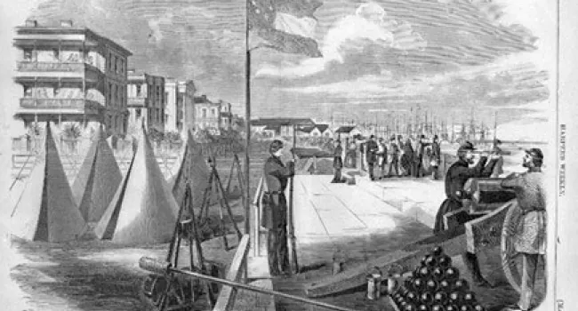
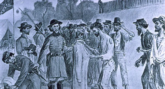
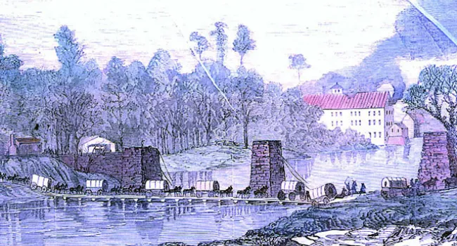
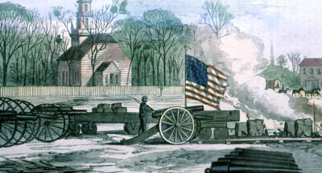
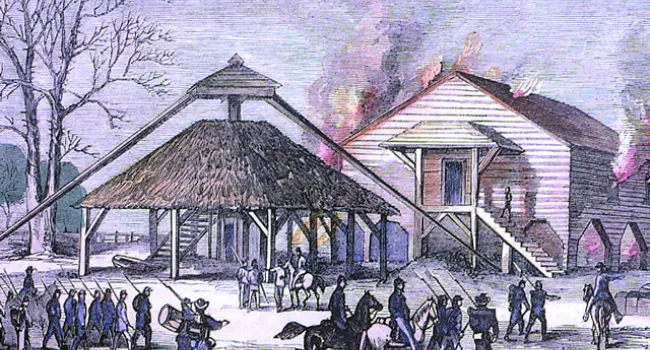
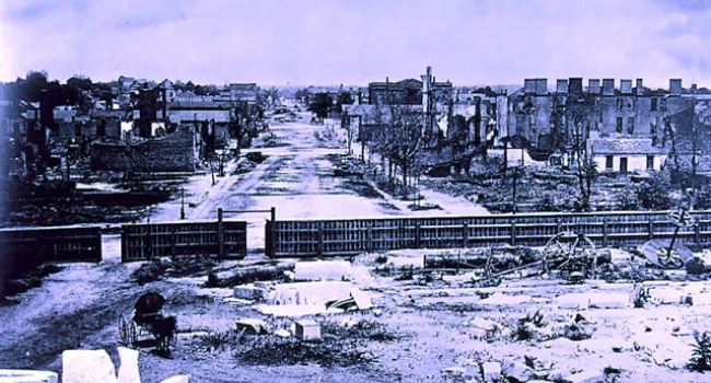
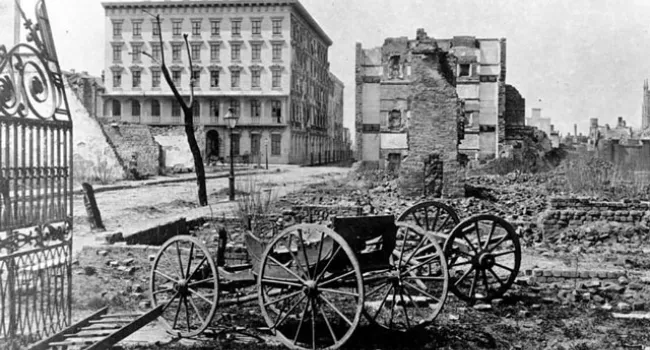
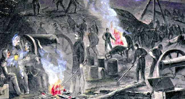
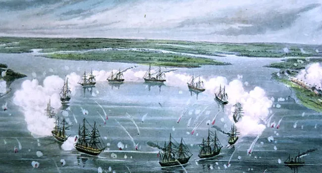
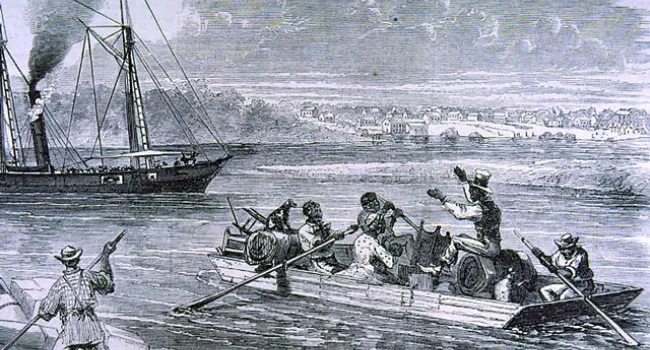
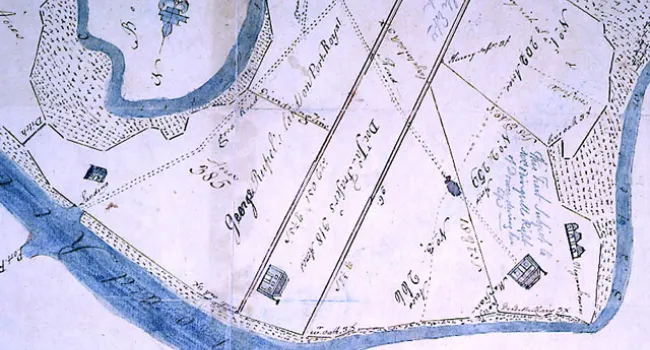
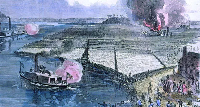
In spite of the absence of modern television and radio news coverage, citizens were given a visual understanding of the war through the efforts of photographers like Matthew Brady, and the engravings published weekly by illustrated newspapers like "Harper's" and "Leslie's." The latter published this map of the Hilton Head area in December of 1861 as federal naval forces moved toward the vulnerable South Carolina coastal region.
Courtesy of the Pratt Memorial Library.