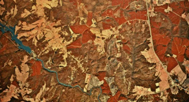
Aerial photography reveals details about the earth that may not be obvious on the ground. Farmers use these photographs to find the most productive areas of their farmlands. Aerial photographs also help developers design new residential or commercial areas. Environmental studies using aerial photographs may help to prevent wastewater from entering area rivers and streams. Aerial photographs also help identify various types of wildlife habitat found in South Carolina.
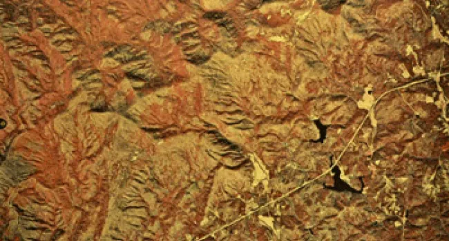
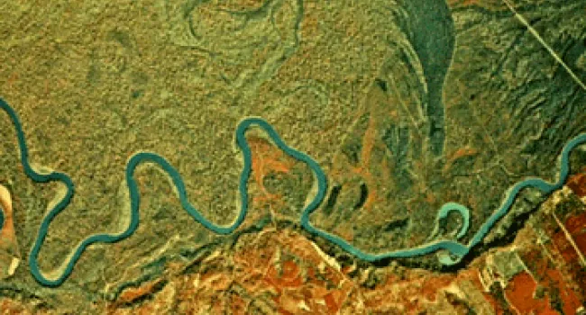
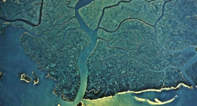
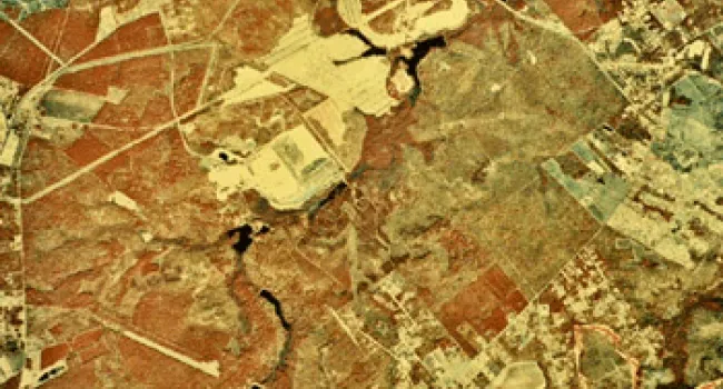
Images in this section are excerpts from infrared aerial photographs taken 20,000 feet above the earth. Infrared film produces altered images that reveal details about the surface features, vegetation, water resources, and urbanized areas of the earth. Click on a landform region below to view an aerial photograph.