Mapping of Kosciuszko's Tunnel: History | Carolina Stories
Episode
1
Video
Part 1: The impenetrable Star Fort (1780).The show is a documentary highlighting the story of the Kosciuszko tunnel and the technology behind the 3D mapping and preservation efforts concerning the little known tunnel that is a part of the Ninety Six National Historic Site in Ninety Six, South Carolina. The Mapping of Kosciuszko’s Tunnel project is collaboration between SCETV, The University of South Florida (USF), The Alliance for Integrated Spatial Technologies (AIST) and the National Park Service.
Closed captioning has been provided for this broadcast program.
Video
Part 1: The impenetrable Star Fort (1780).
Video
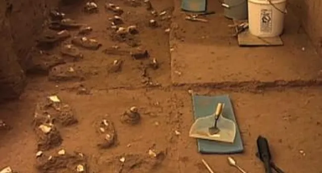
Part 2, a look inside the tunnel and some of its history. Summer 1781, Gen. Nathanael Greene had his military engineer, Thaddeus Kosciuszko, devise a plan to build a tunnel underneath the Star Fort in...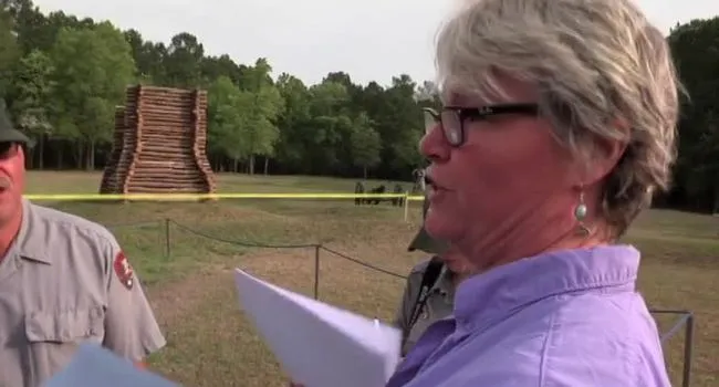
Video
Part 3, a look at the partnerships that made the 3D image mapping possible.
Video
Part 4. A look at the safety precautions necessary for exploration.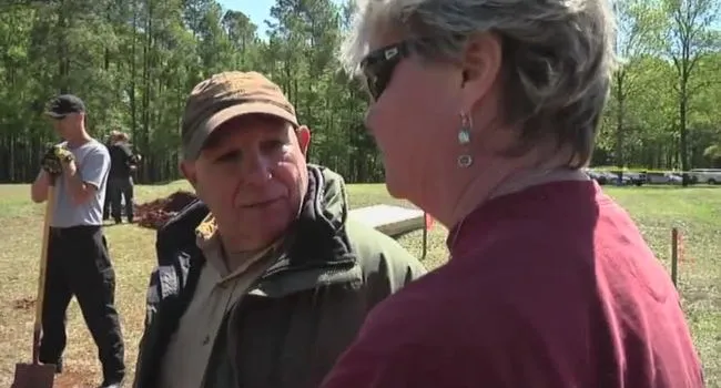
Video
Part 5: Keeping the tunnel structure stable during scanning.
Video
Part 6: Data Collection An in-depth look at how data was collected inside the tunnel for 3D imaging.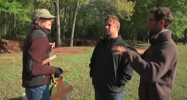
Video
Part 7: How different types of data were scanned and collected and will be utilized.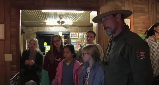
Video
Part 8: Understanding the posterity of the Kosciuszko's Tunnel project and the future of the novel technologies used.Teaching with Historic Places through the National Parks Service offers a series of more than 160 classroom-ready lesson plans (7 specifically for SC) that use historic sites as a means for exploring...