Coordinate Plane City

Students will use their knowledge of coordinate planes to create and help engineer a new, more effective city plan.
Essential Question
How can the coordinate plane be used in our daily lives?
Grade(s):
- 5
Subject(s):
Recommended Technology:
Computers
Other Instructional Materials or Notes:
Lesson Progression
To begin the day, the teacher will play the coordinate plane video. This will help review skills or give students a foundational knowledge of the information.
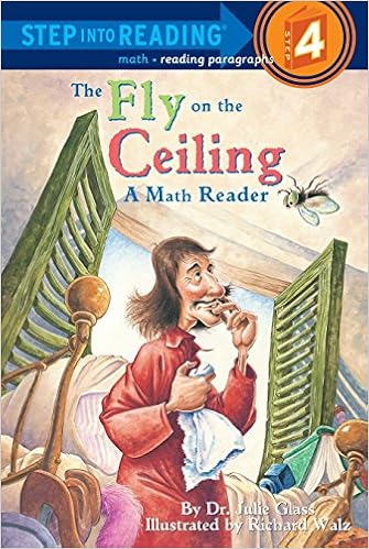
Next, the teacher will allow the students to practice with the coordinate plane before they start their own projects. The book, “Fly on the Ceiling” is a great tool for introducing the activity.
For practice, students will become “flies” like in the book. The teacher will set up a coordinate plan on the floor by using duct tape, scotch tape, string, etc. They will also give all students an ordered pair on a sheet of paper. The piece of paper can have numbers on the back to group students up. For example, all students that have a “2” on the back of their sheet will move to their ordered pair spot on the coordinate plane at the same time. This will allow a group of students to move at the same time; therefore, maximizing class time. They will move to the spot on the coordinate plane when you call “their number”. They will then share with the class what their ordered pair was and explain why they went to the location they did further solidifying their understanding of the X-axis and Y-axis.
Finally, Students will begin their project. Students will work in groups to help “reorganize” their town. The mayor of their town is concerned because everybody keeps getting lost. To make it easier, the students will lay out the city on a coordinate plane system. They are now the city’s engineers. The students will create a map of their city and have drawings of the building on the map. The teacher can decide how many buildings should be included, or if there are certain specific buildings that should be included such as the school, library, etc. Once students create their map, they will pass it on to another group. These students will be the “city inspectors”. The city inspectors’ job will be to list all of the buildings in the city and list the buildings’ coordinates. Once they have their own list of what they believe are the coordinates to all the different buildings, they will look at the engineers’ original list of coordinates and make sure they match up. (This is a fun way to get students to work on finding coordinate planes for themselves but also checking the work of students without simply giving them the coordinates right away.) They will also make sure all of the requirements are correct and fulfilled for the project.
Teacher Notes
Differentiation: Help students to find evidence in the text (or video read aloud) to support them step by step. Pull to small groups to provide remediation as necessary with multiple opportunities for success.
Extension: Have students select 3 random points in quadrant 1 of the coordinate plane. After selecting the points, have them come up with a scenario in which the resulting location would be the point. For example, (3,0) is my point. The bird started as an egg at the origin and hopped 3 times to the right. It tried to fly, but wasn't ready yet. OR Have students find the distances from each point to either the x or y axis.
"The Fly on the Ceiling"
Audio reading of the children's book "The Fly on the Ceiling"
View ResourceStandards
- 5.MGSR Measurement, Geometry, and Spatial Reasoning
- 5.MGSR.3 Graph on the coordinate plane
- 5.MGSR.3.1 Identify the origin, x-axis, and y-axis in the coordinate system. Write, plot, and label ordered pairs, including values in a function table, in the first quadrant of the coordinate plane
- 5.MGSR.3.2 Represent mathematical and real-world situations by graphing, labeling, and interpreting points in the first quadrant of the coordinate plane
- 5.MGSR.3 Graph on the coordinate plane
Assessments
Use the student projects to assess student learning outcomes.