Where Am I? | A Natural State

South Carolina is a geographically diverse place, and can be described in terms of regions. Regions are conceptual constructs used by geographers and others, to bring order to the complexity of the landscape and its communities.

Click on the links below to learn more about the various regions which help describe and define South Carolina.

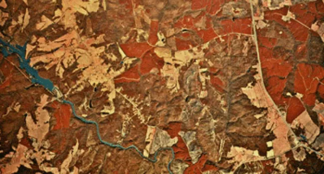
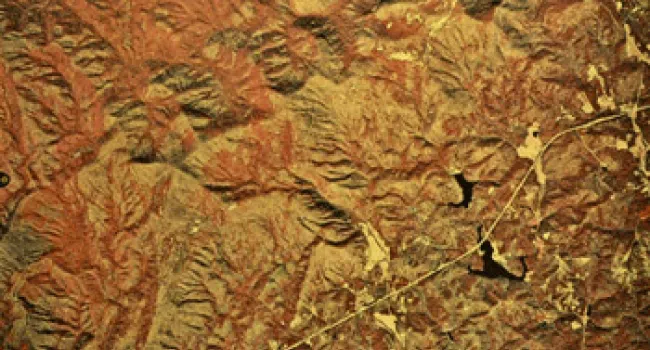
Blue Ridge Landform | A Natural State

Photo

Aerial photograph courtesy of SC Dept. of Natural Resources, Map Lab Featured Artists: Clemson Nature-Based Art | Nancy Basket | Nils Udo The rocky Blue Ridge of upstate South Carolina is the smallest...
Piedmont Landform | A Natural State

Photo

Aerial photograph courtesy of SC Dept. of Natural Resources, Map Lab Featured Artists: Billie Anne McKellar | Peter Werner | Petroglyphs | Steven Ferrell The mountainous upstate transitions into the...
Sandhills Landform | A Natural State

Photo

Aerial photograph courtesy of SC Dept. of Natural Resources, Map Lab Featured Artists: Brian Rust | Janet Orselli | Leslie Pierce The Sandhills is a band of 100,000 million year old sand dunes and...
Coastal Zone Landform | A Natural State

Photo

Aerial photograph courtesy of SC Dept. of Natural Resources, Map Lab Featured Artists: Arianne King Comer | Herb Parker | Tom Boozer Every year, the beaches, marshes, and other Coastal Zone features...
Coastal Plains Landform | A Natural State

Photo

Aerial photograph courtesy of SC Dept. of Natural Resources, Map Lab Featured Artists: Art in Park | Jimmie Dinkins | Pearl Fryar | Phil Greene | Tim Greene Ranging from slightly hilly to flat, the...